Solution: Polygons and MultiPolygons should follow the right-hand rule

vasubabu
Posted on June 25, 2020

I use OpenStreetMaps/Datahub.io to get the polygon data for an area.
For Country polygons, I prefer Datahub.io and others I prefer Open street maps.
Links:
https://nominatim.openstreetmap.org/search.php?q=liege&polygon_geojson=1&format=json
Note: Please change q=liege to your desired place and nominatim is the UI built on top of OSM.
Datahub.io
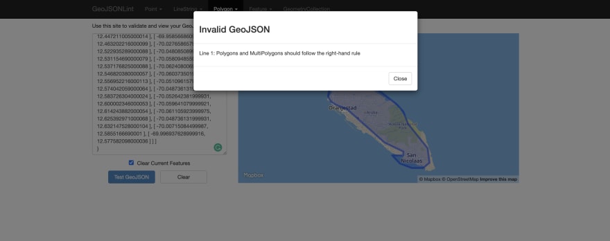
sometimes you may see the below error while validating a Geo-JSON data downloaded using https://geojsonlint.com
Line 1: Polygons and MultiPolygons should follow the right-hand rule
This is because the Geo-JSON data is not following the Right-Hand rule.
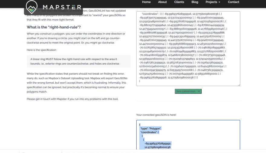
What is a Right-Hand rule?
When you construct a polygon, you can order the coordinates in one direction or another. If you’re drawing a circle, you might start on the left and go counter-clockwise around to meet the original point. Or, you might go clockwise.
Here is the specification:
A linear ring MUST follow the right-hand rule with respect to the area it bounds, i.e., exterior rings are counterclockwise, and holes are clockwise.
Source: mapster
Fix: Its very hard to convert the Geo-Json data according to Right hand rule, one way is use this tool to do that

Posted on June 25, 2020
Join Our Newsletter. No Spam, Only the good stuff.
Sign up to receive the latest update from our blog.


